
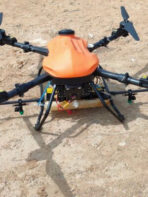
Mapping Survey Cyberone Drone
₹950,000.00
- CLICK-N-LOCK PAYLOADS
- SWAPABLE BATTERIES
- 2 MIN QUICK DEPLOYMENT TIME
- NEAR SILENT ACOUSTICS
- OPERATIONAL FOR 6 HOURS
- MOBILE TOUCH SCREEN GCS
TOPOGRAPHIC SURVEY
Topographic maps can be created based on information that drones collect & images that are captured which makes it easy to do surveys and management.
TERRAIN ANALYSIS
The aerial images obtained from non-matrix digital compact camera payload on UAV are processed photogrammetrically to produce terrain analysis.
3D MAPPING
Imagery captured by drones using laser scanning, aerial photogrammetry techniques, and photogrammetry software which provides a realistic view of a site.
CENTIMETER LEVEL ACCURACY
Get below 5cm level GSD accuracy using our PPK/RTK enabled systems. The higher the number of pixels per centimeter, the greater the relative accuracy of your map
REAL-TIME KINEMATICS (RTK) / POST PROCESSING KINEMATICS (PPK) DATA CAPTURING
Our RTK & PPK enabled drone will get you clear & correct GPS data with the highest level of accuracy to add a layer of reliability to the survey. It’s faster, safer, & highly cost-effective
Description
Product Specification
| Sensor Type | 1″ CMOS |
| Protection Class For Drone | IP 53 |
| Battery Type | Swappable Slide And Lock Battery Mechanism |
| Max Operating Altitude | 6500m |
| Max Launch Altitude | 5500m |
| Operating Temperature Limits | 55 Degree Celsius |
| BVLOS Drone Control Compatibility | Yes |
| Model Name | Mapping Survey Drone |
| Brand | Indowings |
| Swarm Capability | Yes |
| IO Function | H7 Based Onboard Computer Embedding Capability ETH Data Switch Hub Exterior UART Interface |
| GPS | PPK RTK Enabled |
| Max Operational Endurance | 60 Minutes |
| Payload Capacity | 1.5 Kg |
| Weight | 2.4 Kg |
| Type Of Drone | Quadcopter |
| Wind Resistance | 55 Km/h |
| Max Speed | 45 Km/h |
| Propeller Type | Foldable |
| HDMI Output On The Controller | Yes |
| Telemetry and Video Stream Range | 15 Km |
| Length | 600 mm |
Reviews
There are no reviews yet.